
 Continue with onX Maps
 Sign in with Facebook


onX Backcountry
|
|
What does onX Backcountry have other then maps? Are the maps better then free app maps? |
|
|
Check out Gaia instead of onX. |
|
|
Or CalTopo |
|
|
curt86iroc wrote: CalTopo is fantastic as a tool for planning routes out on a computer and more than worth the price if you’re doing multi day off trail trips, and even with the $50/year subscription I spend less on maps printing them out at fedex on 11 x 17 than I did on full size quads. Parcel data is also pretty sweet for access concerns.
|
|
|
agreed the mobile app could be better, but i honestly have no issues using it in the scenarios you describe. i'm probably biased since i have a friend who works for them and i got this sweet hat for free, but whatev... |
|
|
For me, the easy portability of maps from desktop Caltopo to the mobile app makes it worth dealing with the lower quality of the app vs Gaia. And the app has improved a good amount in the last few years. When it first came out I would have agreed with you about using Gaia instead. So maybe dip back in and give it a try if you haven't used it in a long time. That said it is/was possible to transfer all your Caltopo markers, trails, etc. to Gaia, it just takes 5 minutes of work that I'm too lazy to put in. I haven't used onX more than maybe 5 minutes, but my impression is that the main thing it and similar latecomers to the game bring to the table vs Gaia and Caltopo is bigger advertising budgets. |

|
Andrew Skurka has written a detailed review comparing Caltopo and Gaia GPS. He says he used to prefer Gaia in the field, but since Caltopo’s app improvements now uses the latter exclusively both mobile and on computer. https://andrewskurka.com/review-caltopo-backcountry-mapping-gps-navigation/ He also points out that in Feb. 2021 Gaia GPS was acquired by Pocket Media Group. PMG now calls itself Outside Group, and owns “at least 22 leading publications and apps", including Peloton magazine, "SKI, Yoga Journal, Women’s Running, Triathlete, Backpacker, Climbing, Clean Eating, VeloNews, Trail Runner, FinisherPix, Warren Miller Entertainment, and Outside magazine". Seems to be somewhat of a trend, including with Mtn Proj. |

|
For what it's worth, I've found the daily-ish high res satellite images that comes with a caltopo subscription to be pretty invaluable for trip planning in the alpine. Let's you see snow level and coverage, which is quite useful in early and late season (for skiing or climbing). |
|
|
slo ta wrote: I pay for the version of CalTopo for this exact feature, especially when you overlay it with the forest service topos. If you want the same EO data (without all the fancy overlays) you can find them on sentinel hub. |
|
|
slo ta wrote: Slope angle shading is a super cool tool for winter travel as well— you can set it up to highlight slopes between 30°-45° as well to help reduce exposure to avalanche risk. In PNW the sentinel satellites are less useful outside of late spring/early summer because there’s usually too much cloud cover to determine snow levels. |
|
|
R K wrote: "unsubscribe" |
|
|
Terry E wrote: Is Gaia included in outside plus? Thats the other company that spams me to pay $100 a year for a bundle. I think that includes the Trailforks sub? |
|
|
Eli W wrote: Yes, you can also create a custom layer that does both slope angle shading as well as vegetation coverage to quickly visualize areas that might be skiable |
|
|
Not Sure wrote: Dunno what Trailforks is, but from https://www.gaiagps.com/membership 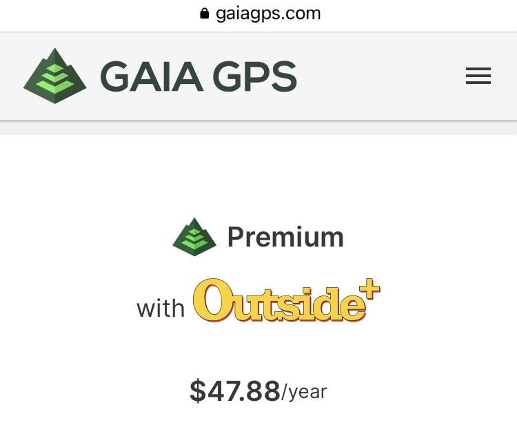  |
|
|
Not Sure wrote: They have avalanche forecasts and slope angle for back country navigation as well as way points and tracking for route planning and the ability to download maps to have offljne |
|
|
Vince Nett wrote: Vince, am wondering if you personally have used onX Backcountry, and if so what you think of it? Personally I'm avoiding the app due to their privacy policy, per https://www.onxmaps.com/privacy-policy Category of Personal Information Do we collect? Do we disclose for Business Purposes? Not sure to what degree onX is tracking location and intends to publish ski lines, approaches, waypoints, etc. I prefer to keep this private. It's already crowded enough out there. |


