
 Continue with onX Maps
 Sign in with Facebook


Linville Gorge bouldering/boulderpacking trip

|
Anyone have any beta on bouldering deep into the Linville Gorge Wilderness in NC? My partner and I are looking to follow Joey Henson's map (of course using true hiking maps to get us to the river and orient ourselves to get there) to boulder and explore around the gorge as it's not very well documented besides the maps. Anyone ever done a trip like this and have any beta on where/when/how? If anyone happens to also be a fly fisherman and has beta on what the trout fishing looks like deep into the gorge that's a huge bonus! |
|
|
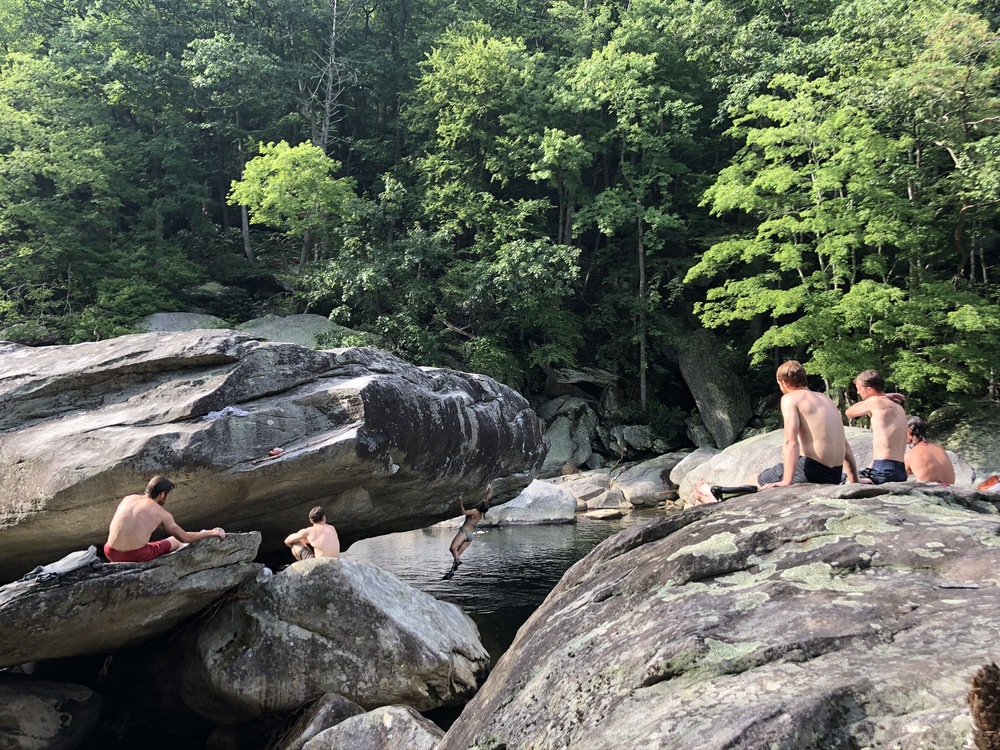
Been to the end of Spence ridge looking for bouldering along the river and found a lot of spots with bad or wet landings. |
|
|
Walter Edly wrote: Do you know what the water levels were when you were out there? It may make a difference in how wet or deep some of the landings are. |
|
|
Not that trip, but also went back exploring on a day trip May 23rd 2021 with my sons down devil's hole (brutal hike out). About the same luck with bouldering, you may be able to find water levels online with that date. |
|
|
I lived in Morganton for 5 years, and spent a great deal of time in LG between hiking, climbing and building trail. Here's what I'd recommend keeping in mind: If you are going to be anywhere near LG you'll want to download Avenza for your phone and download the appropriate maps from lgmaps.org. This app will help keep you oriented on the trails, as they are not blazed and in places are little more than game trail or fall line wash. The map(s) that to which you allude was created over 10 years ago and no longer contains accurate beta for climbs. Many of the lesser trafficked and easier lines have grown over, and as you rightly surmise the obvious lines are often unclimbable due to water level and the changing nature of a wilderness area. If, despite all that, you still want to go down and explore, here are some things to keep in mind: 1.The main areas that were developed and published by Henson et. al. are in the river basin between Spence Ridge and Conley Cove trails, encompassing roughly a mile of the river. There are blocks, especially on the first map that was published that are north of where the Spence Ridge bridge used to be (it washed away in the spring of 2014) although again you'll not find much that's been recently climbed. This area is roughly bounded by the Spence Ridge Fin on the north end and the Glory Days Roof on the south, 2. No matter how you slice it, the approach is going to be a mile down hill, and the retreat will be a mile uphill. If you intend to carry backpacks and pads, you might consider ways to lighten the load. 3. Because of the approach, any injury that prevents you moving up a steep hill becomes a Rescue Squad call. Don't get me wrong, they love what they do, but for the sake of everyone's safety, be careful. LG has the highest rescue rate in any National Forest east of the Mississippi, and often this is because people underestimate the steepness and condition of the trails, or take for granted that the river will be kind to their bones/skulls/etc. 4. Doing anything, much less climbing in LG is a wilderness experience. If you meet anyone down there at all, it is likely that they're day hiking or backpacking the the Southern loop or what locals call ITAYG. Spence Ridge is popular on warm weekends with people looking to dunk in the river, but Conley will probably be very quiet. |
|
|
AField wrote: Amazing info; thanks so much for a great response. My partner is a fairly experienced backpacker having hiked long sections of the AT but I am fairly inexperienced in wilderness backpacking; to make up for that, I've done several long term trips solo around the US and have bouldered specifically in many fairly remote areas and I feel I have a pretty good risk assessment level. That being said I do appreciate you and many others that I've spoken with that have given me a good understanding of how serious a trip like this can be. We both will be going into this with and understanding that if weather is looking iffy we are 100% prepared to bail and head somewhere less serious. We're also prepared to treat this as a hiking trip with very little bouldering depending on the weather and are committing a full day to hike in and set up camp and a whole day to break camp and hike out. If anyone else has any good info for LVG and has tried any of the boulders deep by the river around spence ridge and conley cove I'd love to hear about them. Stories and experiences welcome. |

|
 |


