Pinnacle Ridge
Virginia
> Central & South…
> Charlottesville vicinity
Description
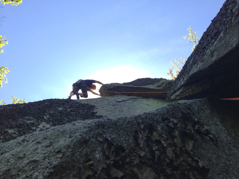
Pinnacle Ridge is located in the Priest Wilderness Area of the George Washington-Jefferson National Forest in Nelson County, Virginia. Just east of Crabtree Falls, it has fantastic views of the Priest, Three Ridges, and the valley below. Pinnacle has large granite slabs, numerous boulders, and challenging routes. Bouldering and traditional climbing using removable gear is allowed, but use of bolts or pitons is not.
Warnings: Watch out for loose rocks and snakes. Deer ticks in the area have been known to carry Lyme disease. Avoid climbing here during hunting season. Please follow Leave No Trace principles. Note: cell phone service is not good. This is a wilderness area, so expect an adventure!
This area was discovered after hiking Three Ridges in the Spring of 2012 with my father and brother, Ben. Along the Three Ridges trail at an overlook, we saw what appeared to be granite slabs on a ridge southwest of the Priest mountain. We made a trip to explore the area, and after much bushwhacking, found the ridge. The rock was solid granite and the main overlook had a great views. Given the rough footpaths on the ridge, the area had likely been explored by mainly hikers and hunters. The first climbing area we established was Karen's crag, in memory of my wife who had passed away on June 12, 2010. She loved hiking and adventuresome climbing, and we felt she was a part of establishing the routes here.
After further exploration, we located what we called "The Spot" below the large open granite slab at the main overlook. It has the best concentration of climbs, with faces up to 50 feet, overhanging cracks, chimneys, and slabs. We established the climbs using traditional gear for protection. Gear anchors can be set at the tops of most climbs. If going with a group, some of the anchors can be set lower for top roping, and then cleaned later on rappel.
Enjoy this special, wild place and be safe!—J. Feher
Getting There
Pinnacle Ridge is easiest accessed by driving to Crabtree Meadows via route 56 to Meadows Lane (route 826) in Tyro, Virginia. Meadows Lane is a rough, unpaved road that often requires a high-clearance, four-wheel drive vehicle.
When you reach the Crabtree Meadows parking area on your left, continue on the fire road on the right and park at the first large campsite on your left. From here, follow directions for the specific areas.


 Continue with onX Maps
 Sign in with Facebook


Midlothian, VA