
 Continue with onX Maps
 Sign in with Facebook


Hubba Hubba Climbing
Routes in Hubba Hubba


|
Left of Hubba Hubba WI3 |
|
|
Center Flow WI3 |
|
|
Right of Hubba Hubba WI3- M2-3 PG13 |
Order Wrong?
Sort Routes
Use onX Backcountry to explore the terrain in 3D, view recent satellite imagery, and more. Now available in onX Backcountry Mobile apps! For more information see this post.
| Elevation: | 3,250 ft | 991 m |
| GPS: |
47.5611, -120.79239 Google Map · Climbing Area Map |
|
| Page Views: | 6,457 total · 65/month | |
| Shared By: | Sandeep Kumar on Mar 8, 2017 | |
| Admins: | Hangdog Hank, Jon Nelson, Micah Klesick, Zachary Winters, Mitchell McAuslan |
 Access Issue: Seasonal Raptor Closures
Details
Access Issue: Seasonal Raptor Closures
Details
Each year, the USFS monitors for raptor nesting.
A pair of golden eagles regularly nest on Bridge Creek Wall. When in effect, starting January 1, PLEASE DO NOT CLIMB or travel within 1/2 mile of Bridge Creek Wall. As a reference, the climb Condorphamine Addiction is just outside of this 1/2 mile buffer, and is OK to climb still. The closure extends through August 15, but there is active monitoring to determine if the seasonal closure can be lifted earlier.
In 2014, there was an active pair of peregrine falcons at Snow Creek Wall, but no official closure was put in effect due to the location of the falcons. The site will be continually monitored with changes or removal of closures updated as necessary.
Description

Hubba Hubba is a good beginner ice climbing location and stays in shape late in season because of it's north-eastern orientation. It's about a 1000 feet up from the Icicle Creek road and easily visible from the road, making it easier to judge the conditions of the route. There are 3 distinct flows of the fall. The fattest one at center, and then one on the left and one to the right of it. Left one is WI2+ and a good for beginner leads. Left and center are two-pitch routes, and the right one is single-pitch.
Getting There
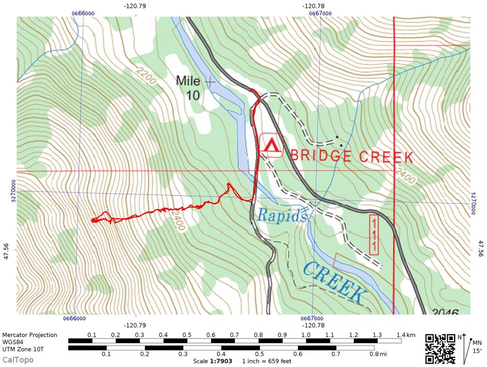
Park on Icicle road at the Bridge Creek Campground Junction (this is where the road ends in winter). Take the dirt road, cross the bridge, and you should see a gate on the right. Cross the gate, and proceed for about 100 feet and then head uphill (left) towards the fall. The second half of the path is a 30-45 degree slope and thus is prone to frequent avalanches.
GPX for approach: https://caltopo.com/m/SCH2 .

GPX for approach: https://caltopo.com/m/SCH2 .
Classic Climbing Routes at Hubba Hubba
Mountain Project's determination of the classic, most popular, highest rated climbing routes in this area.
Weather Averages
|
High
|
Low
|
|
Precip
|
Days w Precip
|
Prime Climbing Season
| J | F | M | A | M | J | J | A | S | O | N | D |
| J | F | M | A | M | J | J | A | S | O | N | D |
Photos


All Photos Within Hubba Hubba
Most Popular · Newest · RandomMore About Hubba Hubba
Printer-FriendlyWhat's New
Guidebooks (7)


3 Comments