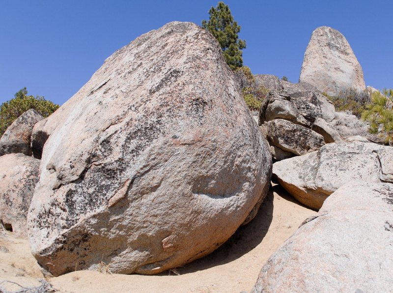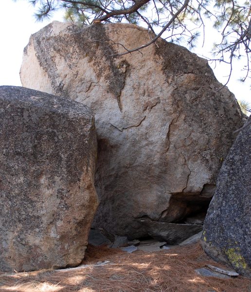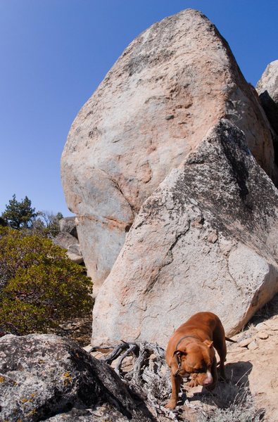
The Verdi zone is probably the Washoe Valley's best set of stones. The area is basically a southeast facing hillside with several dozen large granite blocs, size ranges from steep low balls to proud 30 foot walls. There are some towering lines out here, and the rock is Tahoe-style, speckled granite. The FA potential is almost untapped.
The boulder field is located above the town of Verdi on the Cali/Nev border. If you're driving towards Reno on 80, as you come out of the canyon look up and to the northwest, you can see the light colored blocs on the far hillside.
You can get to the boulders directly from Verdi but it involves a long uphill hike that crosses private property. To avoid trespassing, see below for an alternate route. The alternate route does not cross private property and involves a longer drive but a much easier hike, although a high-clearance, 4WD or AWD vehicle is recommended.
Head out of Verdi on Bridge St for 0.5 mile, then take a right on Dog Valley Rd and follow for 1.2 miles until pavement ends. Continue on Dog Valley/FS31002 for another 3.1 miles on dirt, take a right on FS31010 and follow for 2.5 miles, then take a final right on FS31124 for 2.7 miles. Park where road forks (UTM's: 242600 E, 4382992 N) . Total mileage is about 10 miles from Verdi.
From the parking, start hiking up the road on the right. This road quickly deteriorates and gets rocky and steep; you should know if you're going the correct way within a few hundred feet of the parking. After hiking the road for about 10 minutes, and right before the road re-enters the trees, look for a doubletrack on your left and take it (UTM's: 242398 E, 4382605 N). After a couple of minutes, the doubletrack turns into a very distinct singletrack dirt bike trail. Follow the trail for another 10-15 minutes, and it will spit you out at the top of the boulder field (UTM's: 242626 E, 4381821 N).
Expect a little less than an hour from Verdi, 30 minutes of driving and another 30 of hiking.


Sacramento, CA
GMaps link google.com/maps/place/39%C2…'57.2%22N+120%C2%B000'03.9%22W/@39.5635309,-119.996431,740m/data=!3m1!1e3!4m6!3m5!1s0x0:0x0!7e2!8m2!3d39.5659011!4d-120.0010751!5m1!1e4 Jan 8, 2018
Reno, NV
I followed Lurker's directions this morning and it placed me directly above the boulders. I'm not aware of any private property being crossed, there were no posted signs. I will post some pictures soon showing the parking area as well as the approach trail. Make sure you have high clearance, there is a couple rough boulder gardens to get across that would eat a Civic.
Unfortunately, we only had an hour to check out the boulders. I didn't come across any of the pictures shown above. Its pretty well spread out. Can't wait to go back! Aug 17, 2019
Torino, IT
Location for that face: 39.546431, -119.997631. Flying saucer is nearby (northwest I think).
The directions are accurate, but it was not easy to get there with all the ice in mid January, even after several warm days. Also there's a large washout on FS31010 which will not be easily passable if there's been any precipitation recently. You can take a longer way around on FS31002 which is just as passable as the rest of the drive but does lengthen the journey.
If the reader is serious about putting up more routes out here, I would suggest being strong and bold, and bringing two spotters and three pads. Jan 18, 2021
Lake Tahoe, Ca
Torino, IT
I agree that this has potential to be a cool area. I think I'll go back when the ice is gone and the days are longer. I also know nothing about developing areas, so everyone should take my comments with a grain of salt (maybe it's actually pretty clean for an undeveloped area, idk). Jan 19, 2021
Reno, NV