
 Continue with onX Maps
 Continue with Facebook


Baboon Rock Climbing
Use onX Backcountry to explore the terrain in 3D, view recent satellite imagery, and more. Now available in onX Backcountry Mobile apps! For more information see this post.
| Elevation: | 8,746 ft |
| GPS: |
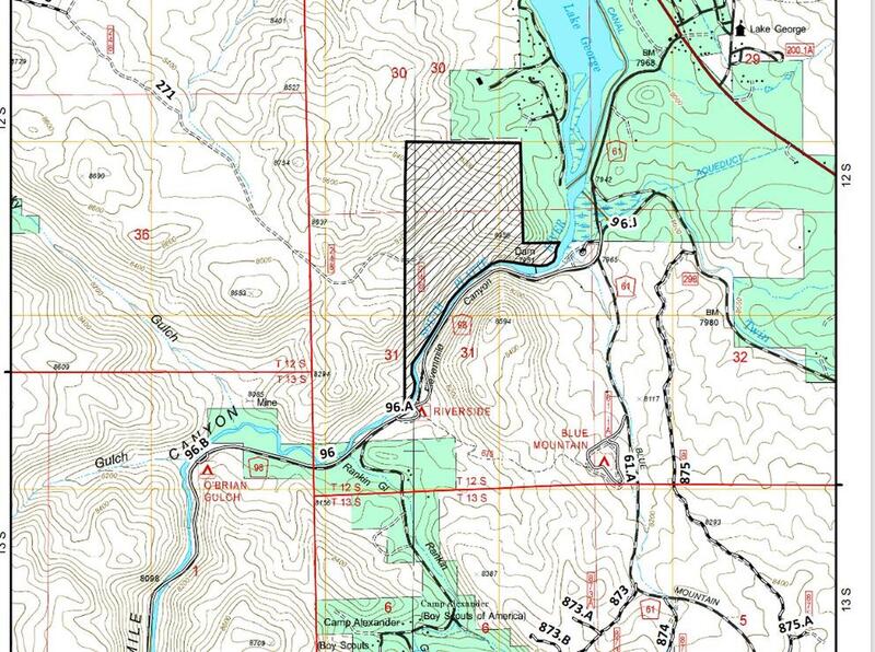
38.9081, -105.4669 Google Map · Climbing Area Map |
| Page Views: | 1,539 total · 9/month |
| Shared By: | Margaret T on Jul 9, 2010 |
| Admins: | Leo Paik, John McNamee, Frances Fierst, Monty, Monomaniac, Tyler KC |
 Access Issue: Seasonal Raptor Closures January 1- July 31st, 2016-2021
Details
Access Issue: Seasonal Raptor Closures January 1- July 31st, 2016-2021
Details
For 2022: per Daniel Bryant: they did extend the order, but what I found was that the closed area does not encompass any of the common climbing areas within Elevenmile Canyon.
Seasonal Closures in effect January 1-July 31st, 2016-2021.
For details visit:
fs.usda.gov/Internet/FSE_DO…
Maps:
fs.usda.gov/Internet/FSE_DO…
fs.usda.gov/Internet/FSE_DO…
Contact phone number: (719) 553-1400.
Seasonal Closures in effect January 1-July 31st, 2016-2021.
For details visit:
fs.usda.gov/Internet/FSE_DO…
Maps:
fs.usda.gov/Internet/FSE_DO…
fs.usda.gov/Internet/FSE_DO…
Contact phone number: (719) 553-1400.
Access Issue: No parking in campground
Details
Park on S side of road just outside of campground in parking area. $5 access fee to Elevenmile Canyon.
Baboon Rock Trad Climbs

Tallest rock formation above the Spillway Campground in Eleven Mile Canyon. According to old beta, it probably has several 5.10+ multipitch trad routes up the western face. Grades gets easier but cracks get dirtier as you move around the rock to the NW. Several 5.5 to 5.7 multipitch possibilities above canyon on NW side. Walkoff via a maintained trail back to the campground. Great views from the top!
Weather Averages
|
High
|
Low
|
|
Precip
|
Days w Precip
|
Prime Climbing Season
| J | F | M | A | M | J | J | A | S | O | N | D |
| J | F | M | A | M | J | J | A | S | O | N | D |
Photos
- No Photos -
All Photos Within Baboon Rock
Most Popular · Newest · RandomMore About Baboon Rock
Printer-FriendlyWhat's New
Guidebooks (13)


0 Comments