
 Continue with onX Maps
 Continue with Facebook


The Outcrop Bouldering
Routes in The Outcrop

|
Arete boulder, The V-easy 3 |
|
|
Finger Crack, The V1 5 |
|
|
Hand Crack, The V1 5 |
|
|
Mantle Boulder, The V0 4 |
|
|
Right side V-easy 3 |
Order Wrong?
Sort Routes
Use onX Backcountry to explore the terrain in 3D, view recent satellite imagery, and more. Now available in onX Backcountry Mobile apps! For more information see this post.
| Elevation: | 522 ft |
| GPS: |
44.56136, -69.9265 Google Map · Climbing Area Map |
| Page Views: | 3,461 total · 34/month |
| Shared By: | Brian Oelberg on Nov 25, 2015 |
| Admins: | Ladd Raine, Jonathan S, Robert Hall |


Weather Averages
|
High
|
Low
|
|
Precip
|
Days w Precip
|
Prime Climbing Season
| J | F | M | A | M | J | J | A | S | O | N | D |
| J | F | M | A | M | J | J | A | S | O | N | D |
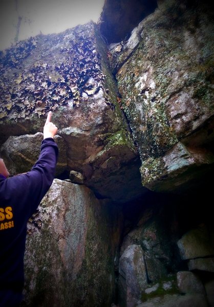
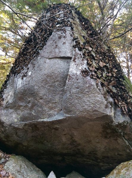
Photos

All Photos Within The Outcrop
Most Popular · Newest · RandomMore About The Outcrop
Printer-FriendlyWhat's New
Guidebooks (2)


0 Comments