
 Continue with onX Maps


ID 106446315 ·
·
Copyright Violation?


Rate Photo

sibylle Hechtel
May 30, 2009
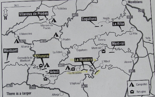
“This map shows the Refugio and camping at La Mussara, as well as some of the nearby cliffs. We drove 12.5 km (about 7 miles) from La Mussara to the nearest village, Arboli.”


0 Comments